
SAN DIEGO – TIJUANA STUDIO / 2017
with Teddy Cruz and Fonna Forman
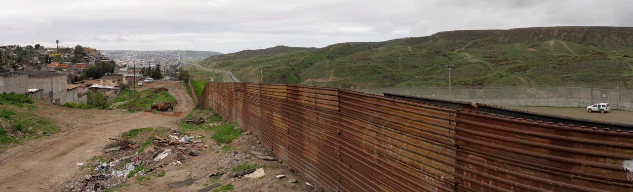
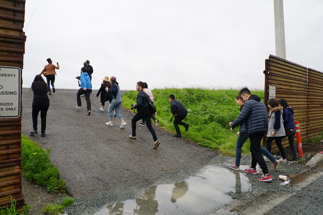
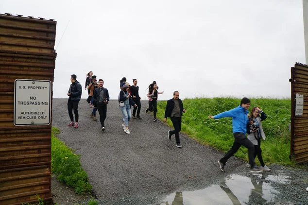
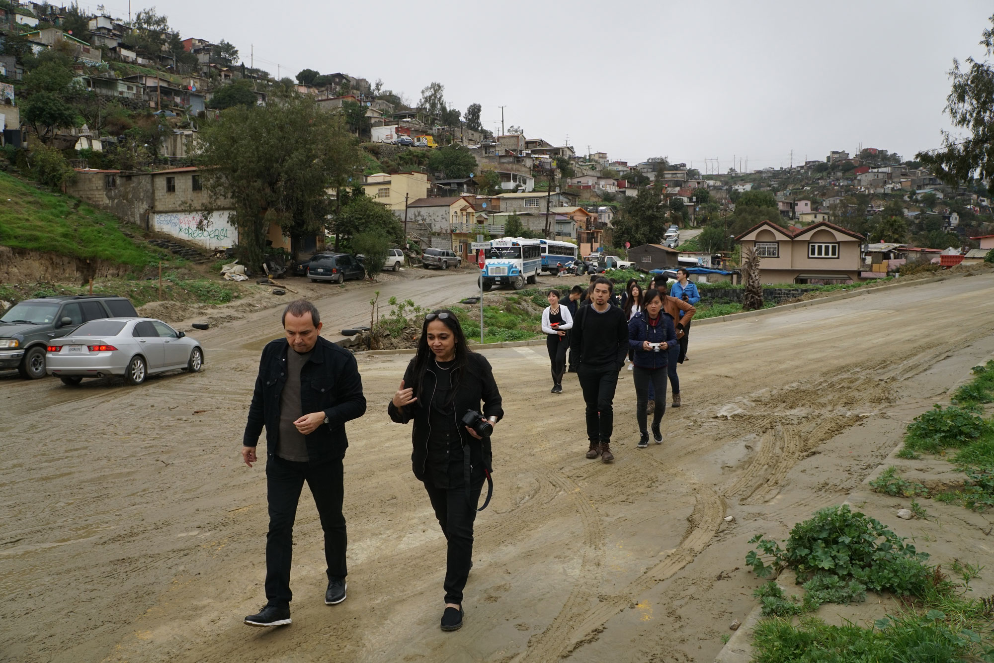
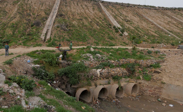
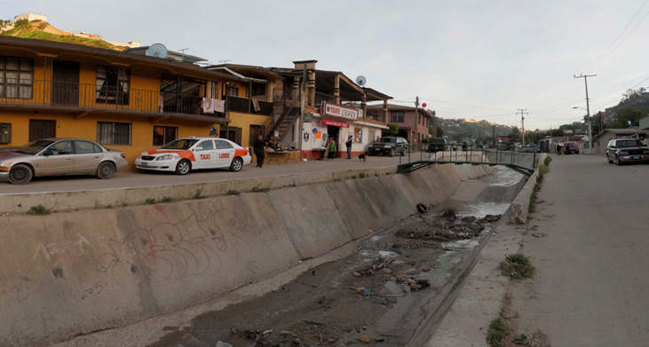
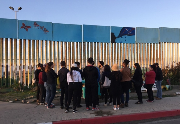
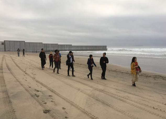
We find ourselves in a moment when building walls and reinforcing lines of separation have re-entered the public imagination, particularly in the context of the US-Mexico border. This studio built on the work done by designers, scholars, and activists in border regions, in particular the San Diego–Tijuana area that anchors the western extent of the US-Mexico border. It addressed the role of design in re-visualizing territories of conflict and initiating material and cultural practices that can lead to conditions that are unbound. Our aspiration was to test new ideas of inter-dependency, exchange, citizenship, and infrastructure through an engagement with particular places and trajectories of movement that have been disrupted by massive constructions already in place. An underlying thread remains a concern for how water or rather wetness is visualized and engaged in ways that lead to conditions of its excess and scarcity, but also the opportunities that its ubiquitous fluidity offers for new visualizations of terrain, design imagination, and design activism.
THE WESTERN GHATS STUDIO / 2015
The Western Ghats of India is popularly singled out as a distinct zone, a range of hills on the west coast of India. In July 2012, UNESCO designated the Western Ghats a World Heritage Site. They see it as one of the hottest ‘hotspots’ of biodiversity and one of the oldest cloud forests that is home to rare species of frogs and flowers, a dwindling population of tigers, a place of ancient practices of agriculture and conservation, sacred groves and much else. But the drive to label it a heritage site is facing stiff opposition from developers, prospectors and politicians, bringing the Ghats to prominence as a leading contested landscape where environment and development, culture and nature, are being positioned as elsewhere in opposition at multiple levels. It has prompted calls for a regional plan. Rather than operating by zoned land uses on a surface demarcated by geographic lines toward a regional plan, the studio initiated a process of re-imaging and re-imagining the Western Ghats on the ground of splicing.
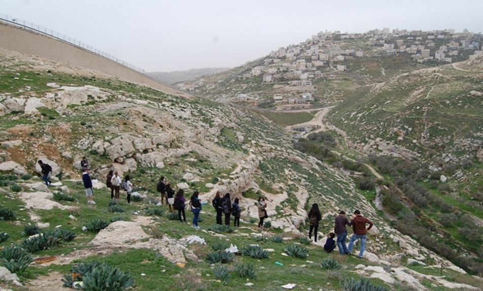
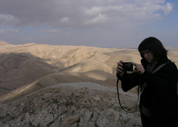
JERUSALEM STUDIO / 2012
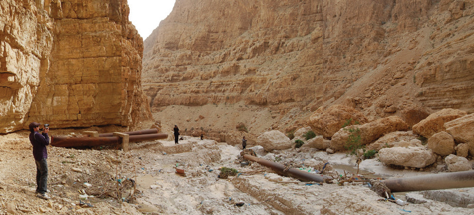
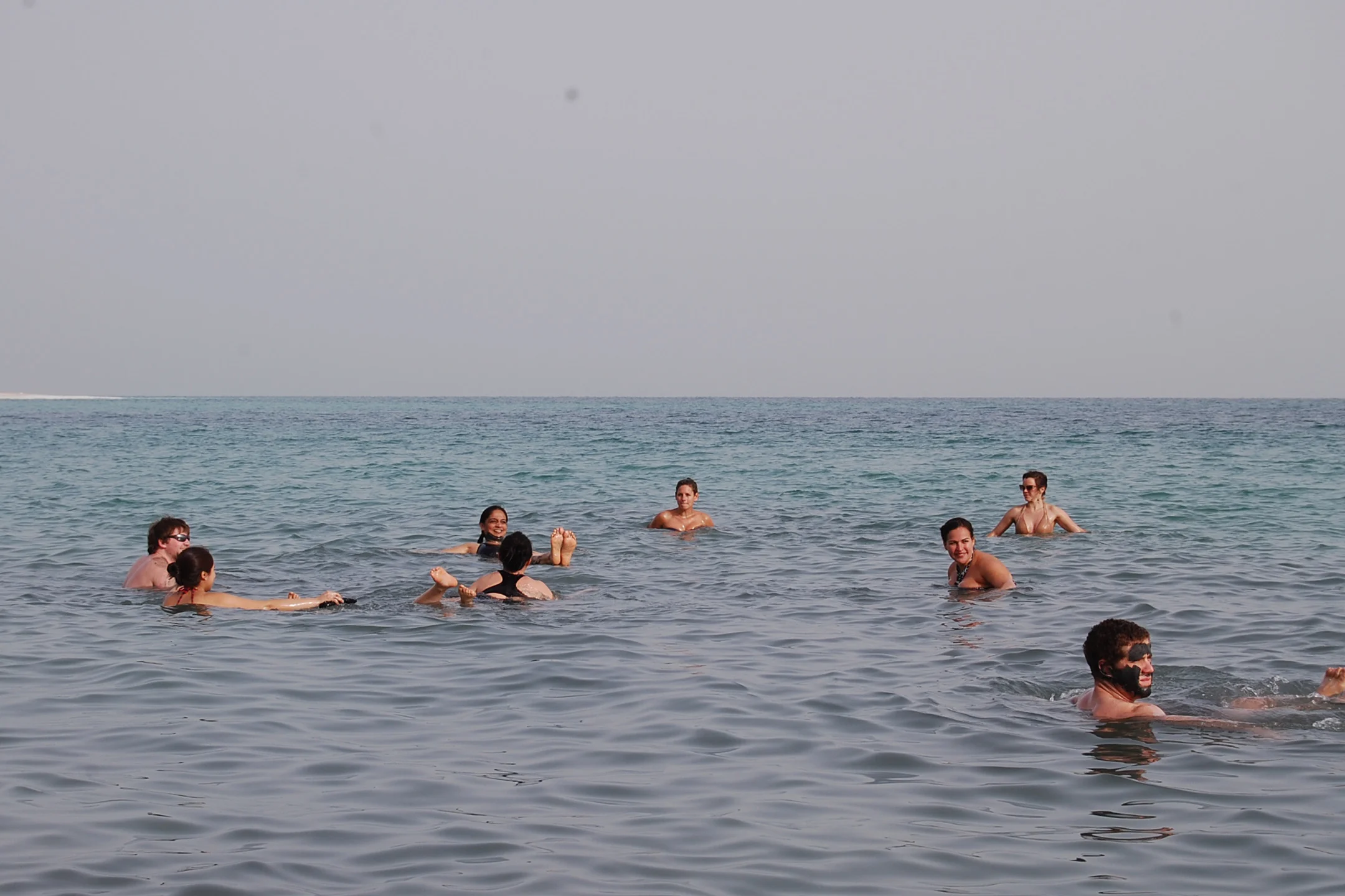
Valleys in the Middle East divide and unite, none more than the Levantine Rift Valley extending from the Golan Heights to the Gulf of Aqaba via the Dead Sea. It is a tectonic line that is shearing and pulling apart geologically and culturally even as it gathers a unique ecology. The Kidron Valley, a branch of the Rift Valley, carries the divides and unities of the Rift right up to Jerusalem in exchange for waters that exit Jerusalem for the Dead Sea. Students developed design projects in specific places in the Kidron Valley. The valley offered a range of possibilities from the urban setting of Jerusalem, through the disputed wall of the West Bank and Palestinian towns, to the receding edge of the Dead Sea. Projects developed propositions for dwelling, institutions, public places, infrastructure and armatures that engaged in some way the routes and rifts of this terrain.
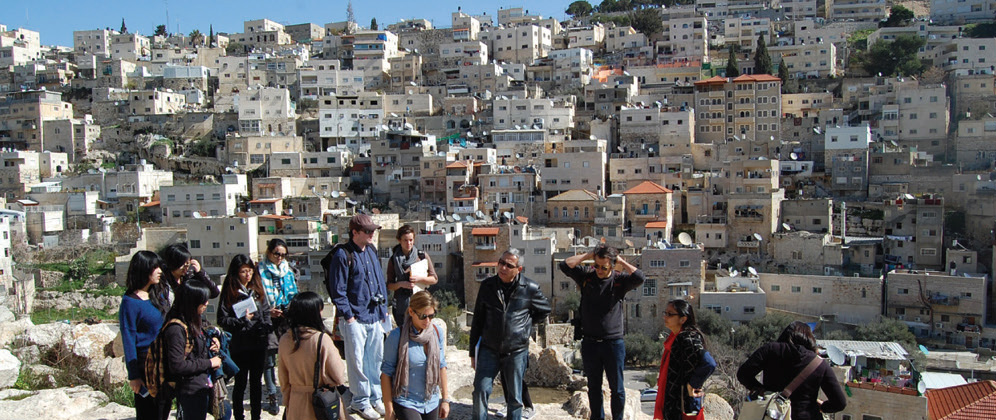
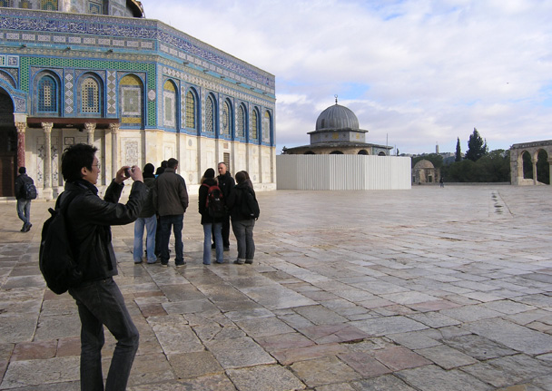
JERUSALEM STUDIO / 2011
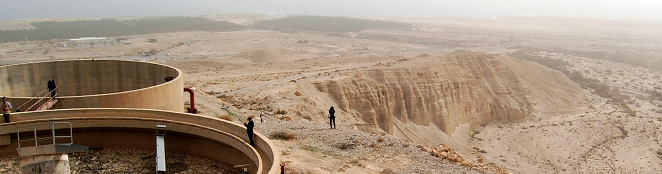
Water has always had many dimensions in Jerusalem: necessity, security, separator, and peacemaker. Its infrastructure anchors a place where rivers are yet to form even as it binds together events and conflicts over millennia that have made Jerusalem a household name across the world. This studio developed design projects for specific sites in four valleys of Jerusalem – the Kidron Valley, Hinom Valley, Refaim Valley, and Tzvaim Valley. These valleys engage the infrastructure of water in its many dimensions in a landscape that is today more contentious and challenging than ever before, both culturally and ecologically. The studio considered Jerusalem at the heart of two powerful and potentially generative intersections: one geographic; the other material.
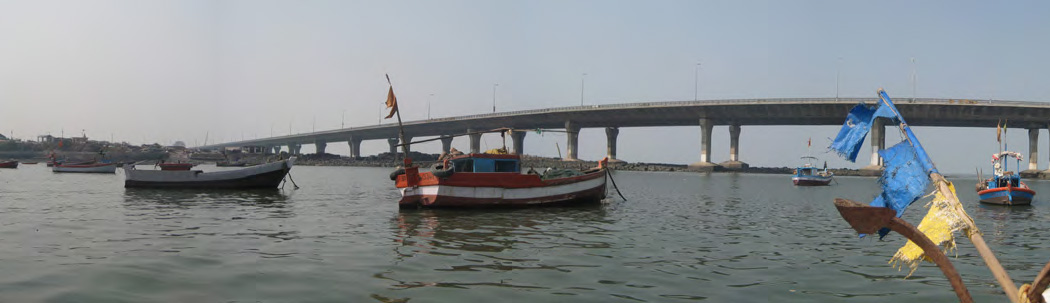
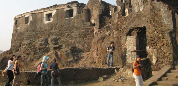
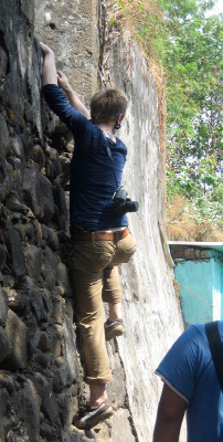
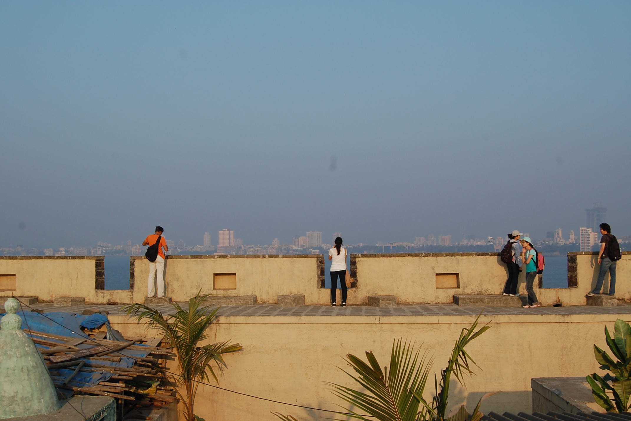
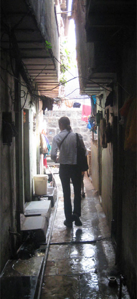
MUMBAI STUDIO / 2010
This studio singled out five historic forts of south Mumbai that were command points for a complex east-west passage connecting the Arabian Sea and Mumbai Harbor. The passage has been gradually blocked since the 1800’s by causeways, siltation, landfill, and settlements. In various stages of degradation, restoration, and occupation these forts were once significant strategic and cultural anchors for Mumbai’s estuary. These forts became the starting point of design strategies for the Mumbai Studio in Spring 2010 and brought into play many contested issues of Mumbai’s landscape and the transformation of infrastructure and communities in their vicinity. Students developed proposals for a new public interface with a particular fort in dialogue with events, ecologies, and economies that extend from it. In all this, the monsoons and the sea were considered insiders that were welcomed and engaged rather than being seen as outsiders to be feared and distanced.
MUMBAI STUDIO / 2009
The studio focused on the Sanjay Gandhi National Park in north Mumbai. A tropical wilderness of 87 sq km of largely forested terrain that was consolidated in 1960’s from a range of government and private holdings, the Park has fought back any major project since the British built the Tulsi and Vehar reservoirs in the mid 1800’s to introduce piped waters to Mumbai. Its edges however have become increasingly contentious—supporting extensive developments, quarrying, and illegal encroachments. Here fifty miles of edge collide with two million inhabitants. The studio built on the premise that the National Park can become a greater player in the collection and diversification of Mumbai’s waters, its scarcity and excess, particularly in the context of the Indian monsoon. Rather than a backyard, the CITY/PARK EDGE was considered a new frontier for Mumbai.
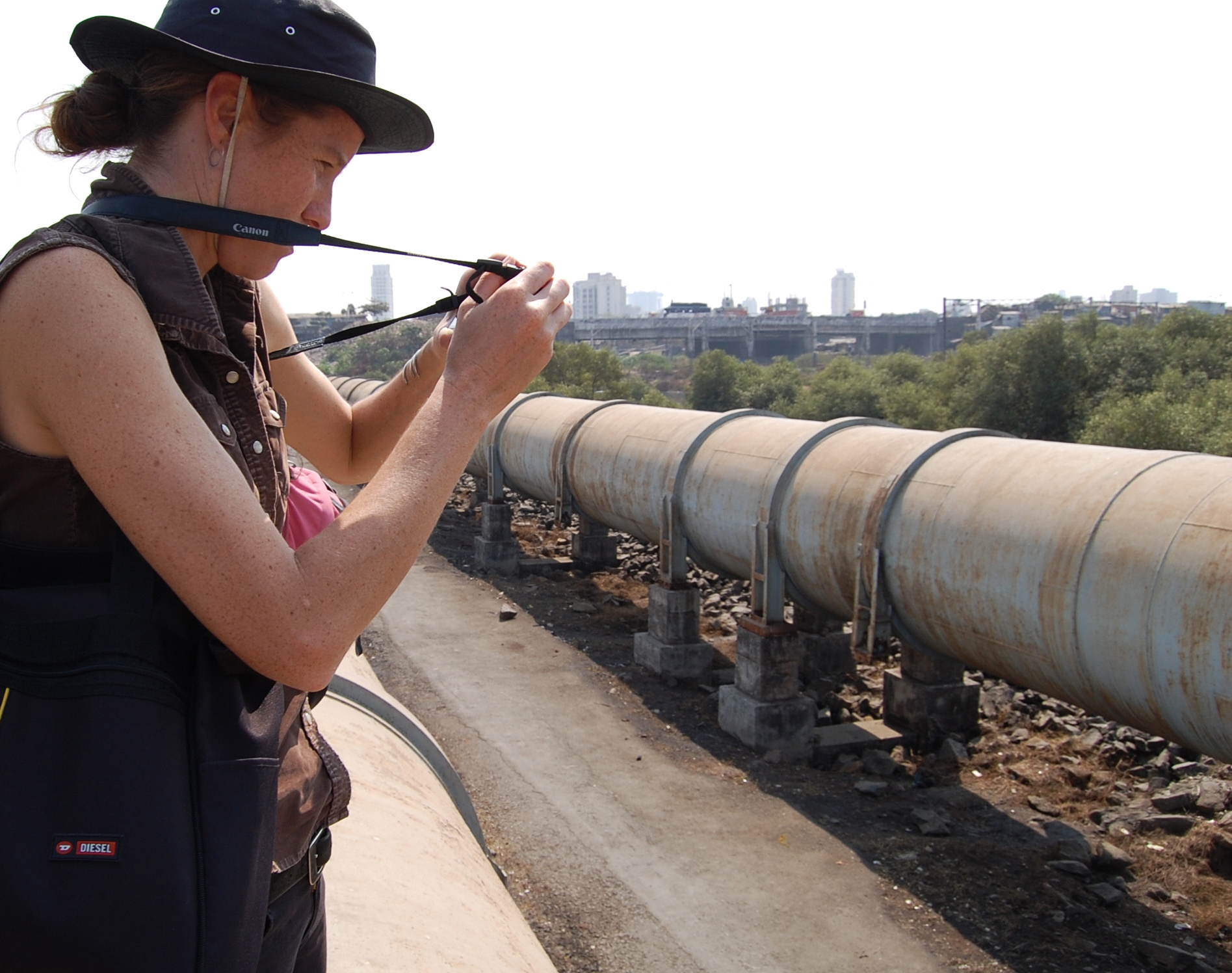
MUMBAI STUDIO / 2007
In 2005 Mumbai was inundated by one of the worst floods of this decade. At the center of the flood was the Mithi River, a short 8 miles stream that runs from Powai Lake amidst the basaltic rocks of a historic national park in North Mumbai to the depleted mangrove marshes of Mahim Bay where it enters the Arabian Sea. Between the park and bay the Mithi crosses the Mumbai international airport, some of the densest slums in Asia, industrial backyards, and expensive commercial districts. In 2005 with the heavy rains of the monsoons this tidal river failed its infrastructural task of drain and sewer, inundating a vast swath of life in middle Mumbai and bringing this global metropolis to a standstill. But more than bringing into focus the shortcomings of Mumbai’s infrastructure and political will, the floods momentarily made visible the presence of the Mithi river and indeed a larger and more complex landscape that is largely forgotten or ‘unseen ’under the weight of the present metropolis. The studio sought to engage the latter.
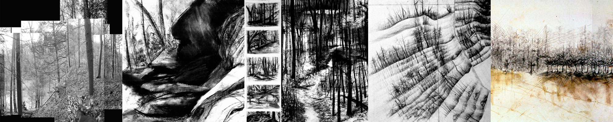
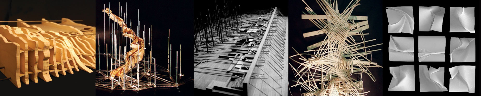
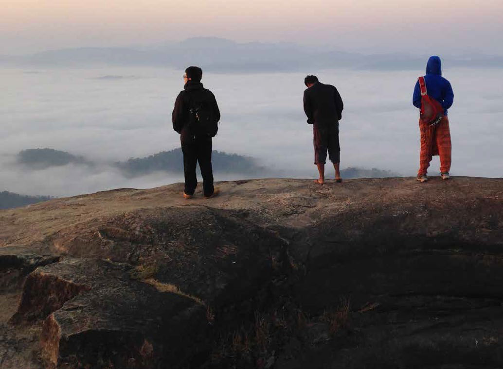
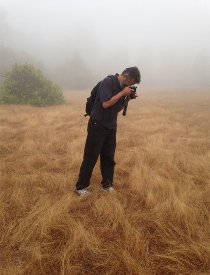
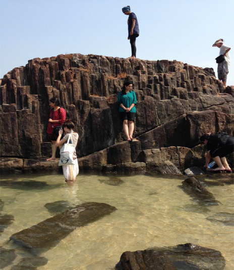
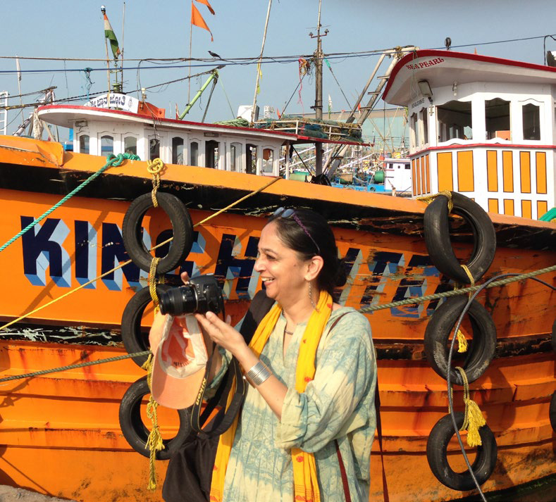
TRAVERSING LANDSCAPE / 2003 – 2013
This foundational studio initiated site-based investigations that formed the basis upon which new ways of seeing, experiencing, and transforming landscape were envisioned. These site-based investigations, that were called ‘traverses,’ formed the focus of the first part of the semester. They involved student’s complete immersion in the act of walking, drawing, surveying, photographing, model-making, and researching in the field, and in studio. While each traverse was distinct, opening its own methodology, technique, instruments, modes of presentation, and creative possibilities, traverses also built on each other. Through these, student accumulated a sense of territory, place, and the possibilities for design as they moved into the second half of the semester. To traverse, we suggest, is to walk in appreciation of what Henry David Thoreau called wildness, a terrain where boundaries are blurred, properties recede, and another’s guidance is suspended. In this amorphous world one is compelled to plot a unique ground, a ground on which things emerge, gather and extend.