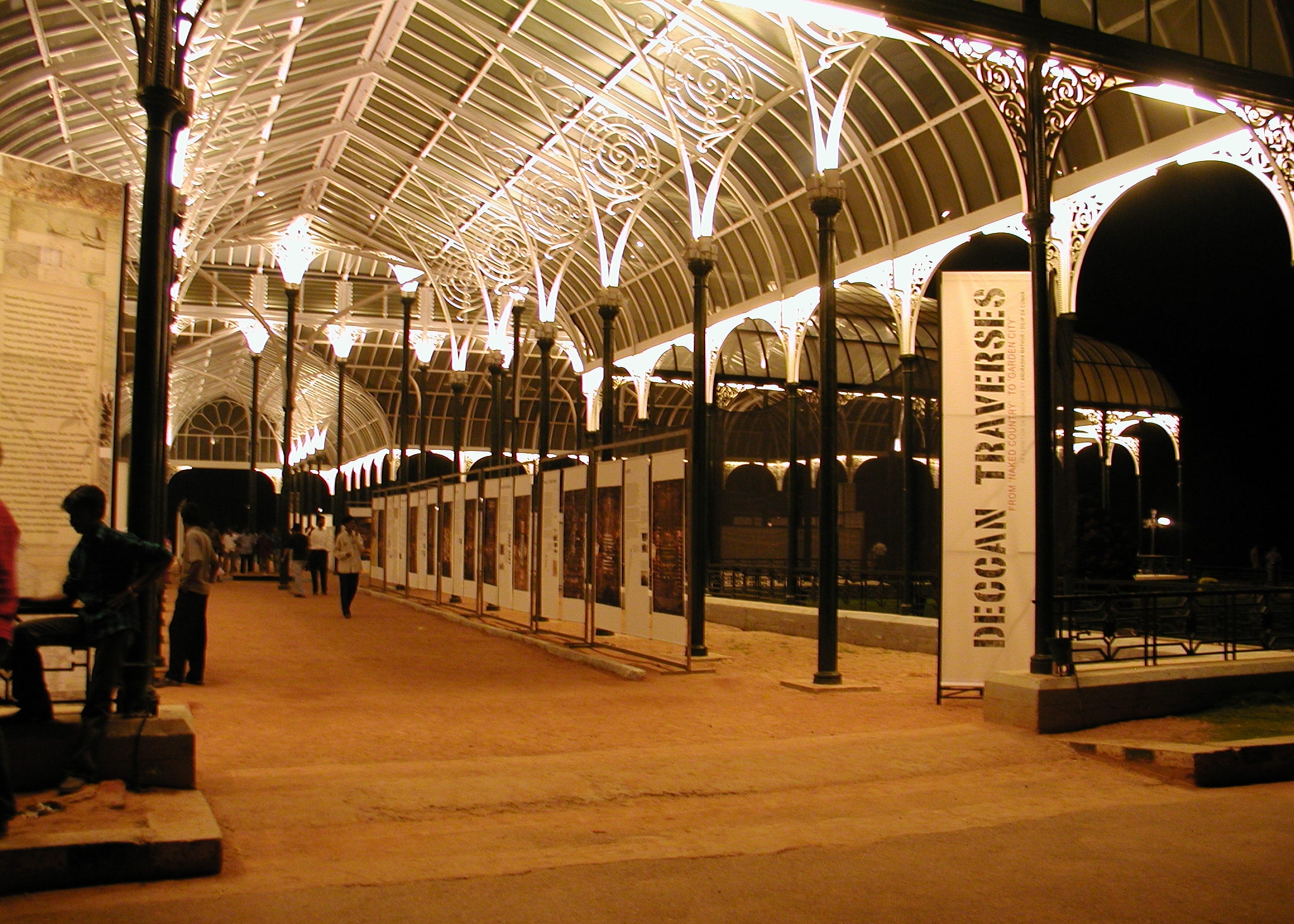
DECCAN TRAVERSES
THE MAKING OF BANGALORE'S TERRAIN
Deccan Traverses peels back layers of contemporary Bangalore to reveal how the 18th and 19th century colonial enterprises of surveying, triangulating, picturing and botanizing constructed the ‘Garden City of India.’ These enterprises continue to rule the disciplinary imagination, in particular that of the historian and planner. They also work to marginalize local practices that are easily dismissed as informal, primitive, or ‘other’.
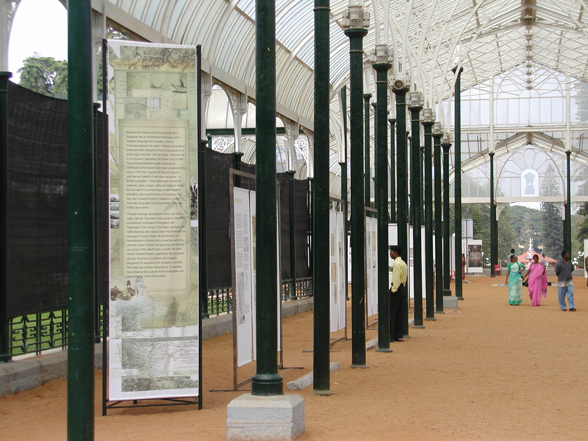
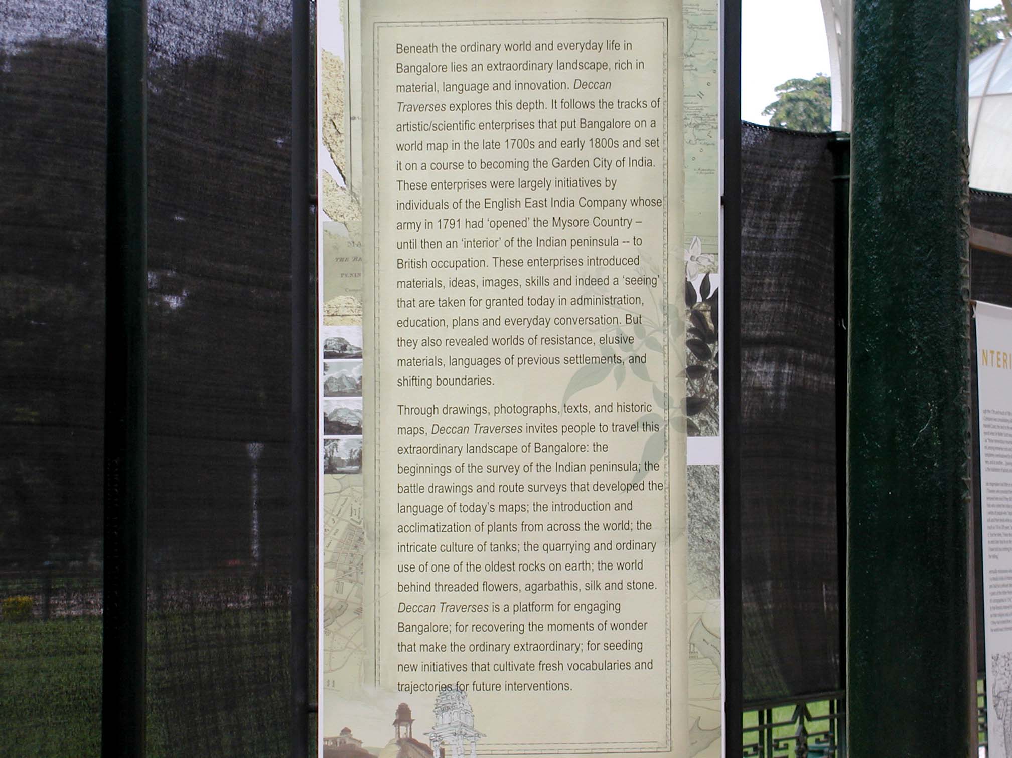
Deccan Traverses is about the landscape of Bangalore; but it is also about the power of landscape to determine the nature of a place and the eye through which it is seen. It extends the discourse on cities as well as the design and planning process to include the initiatives by which land is measured and landscape articulated. It constructs the ground for seeding new initiatives that cultivate fresh vocabularies and trajectories for future interventions.
Deccan Traverses follows the tracks of artistic/scientific enterprises that put Bangalore on a world map in the late 1700s and early 1800s and set it on a course to becoming the Garden City of India. These enterprises were largely initiatives by individuals of the English East India Company whose army in 1791 had ‘opened’ the Mysore Country—until then an ‘interior’ of the Indian peninsula—to British occupation. These enterprises introduced materials, ideas, images, skills and indeed a ‘seeing’ that are taken for granted today in administration, education, plans and everyday conversation. But they also revealed worlds of resistance, elusive materials, languages of previous settlements, and shifting boundaries.
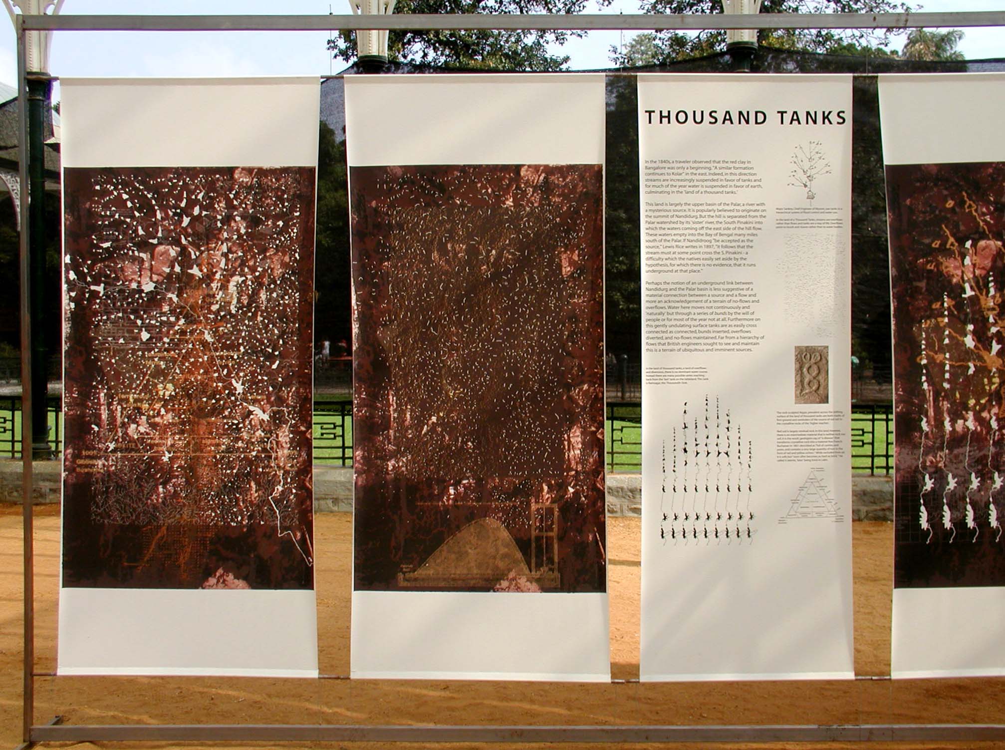
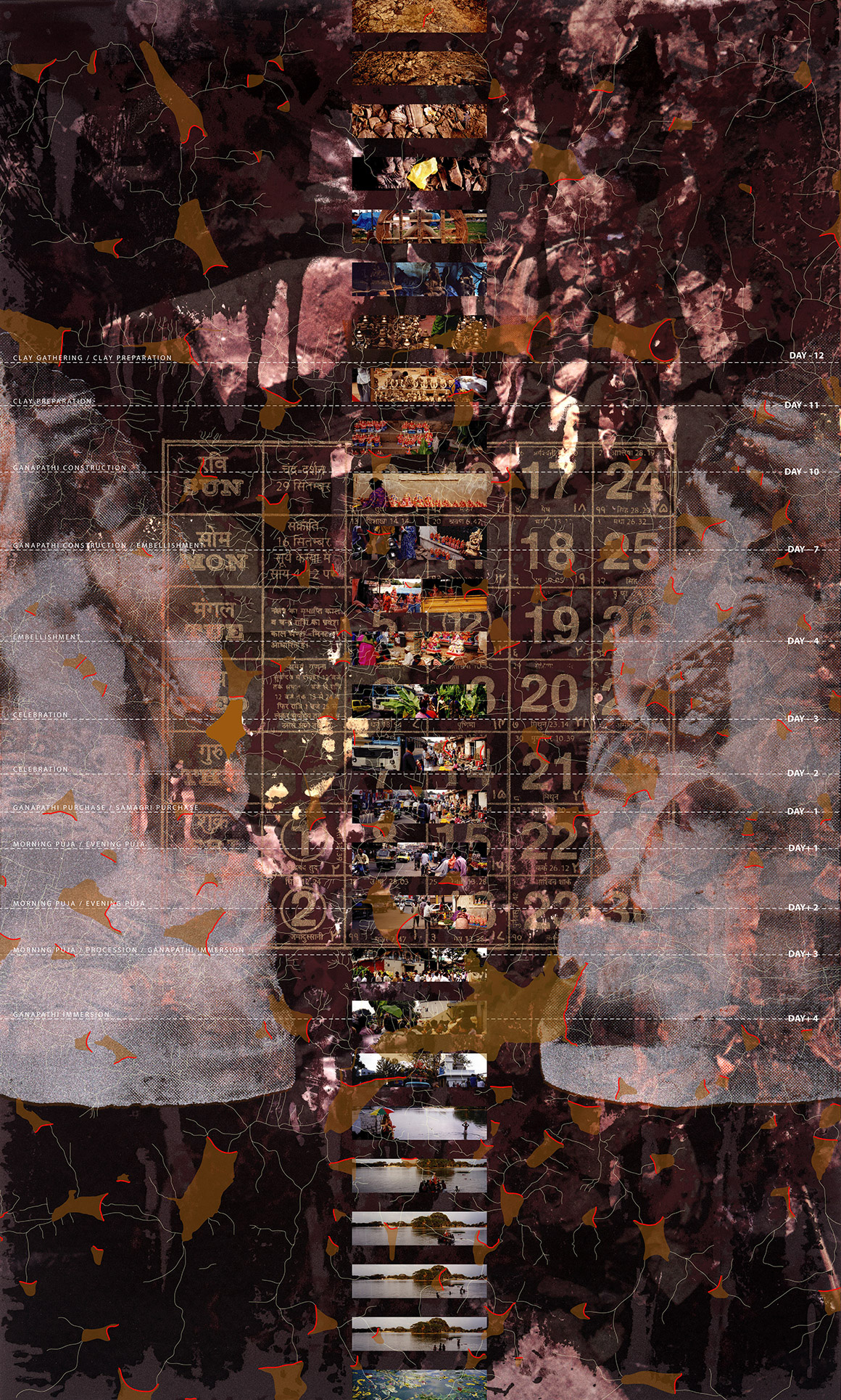
Through drawings, photographs, texts, and historic maps, Deccan Traverses travels this extraordinary landscape of Bangalore: the beginnings of the survey of India; the battle drawings and route surveys that developed the language of today’s maps; the introduction and acclimatization of plants from across the world; the intricate culture of tanks; the quarrying and ordinary use of one of the oldest rocks on earth; the world behind threaded flowers, silk and stone.


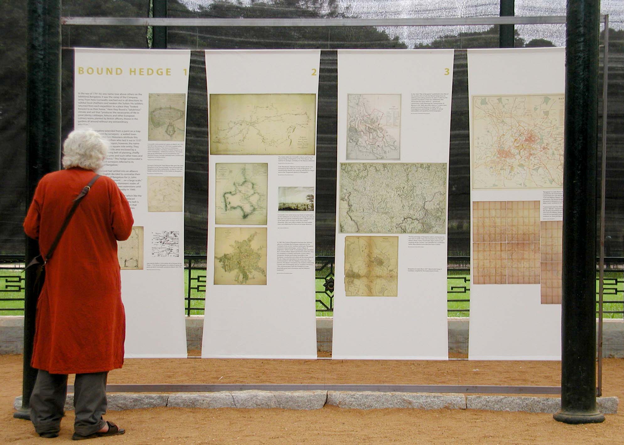
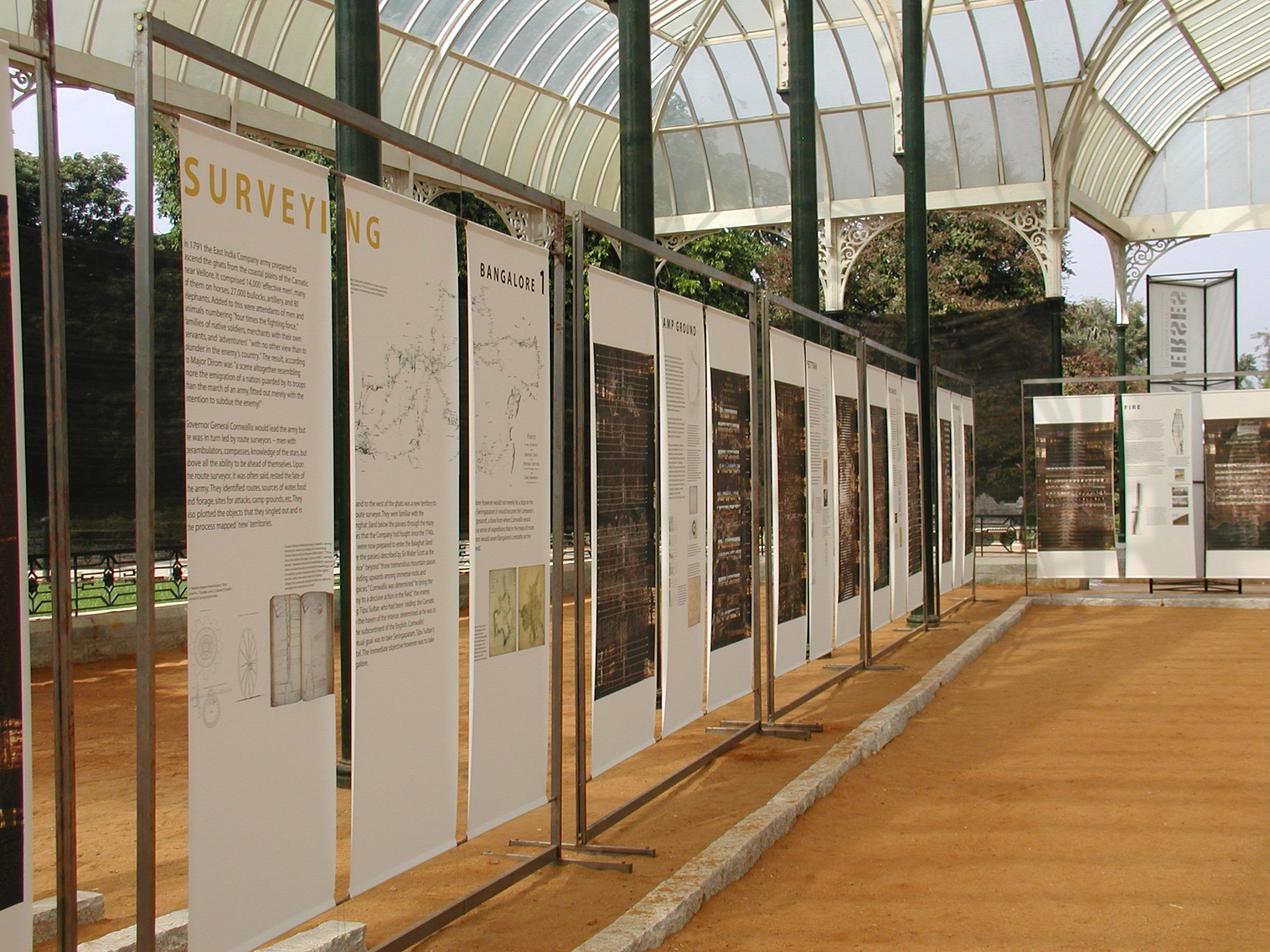
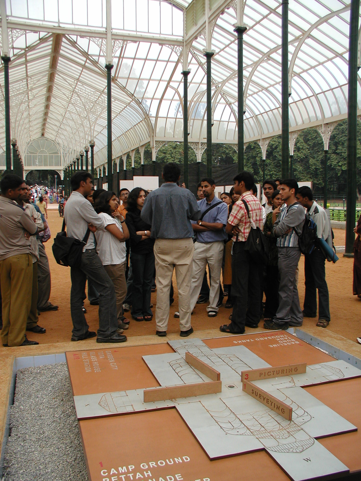
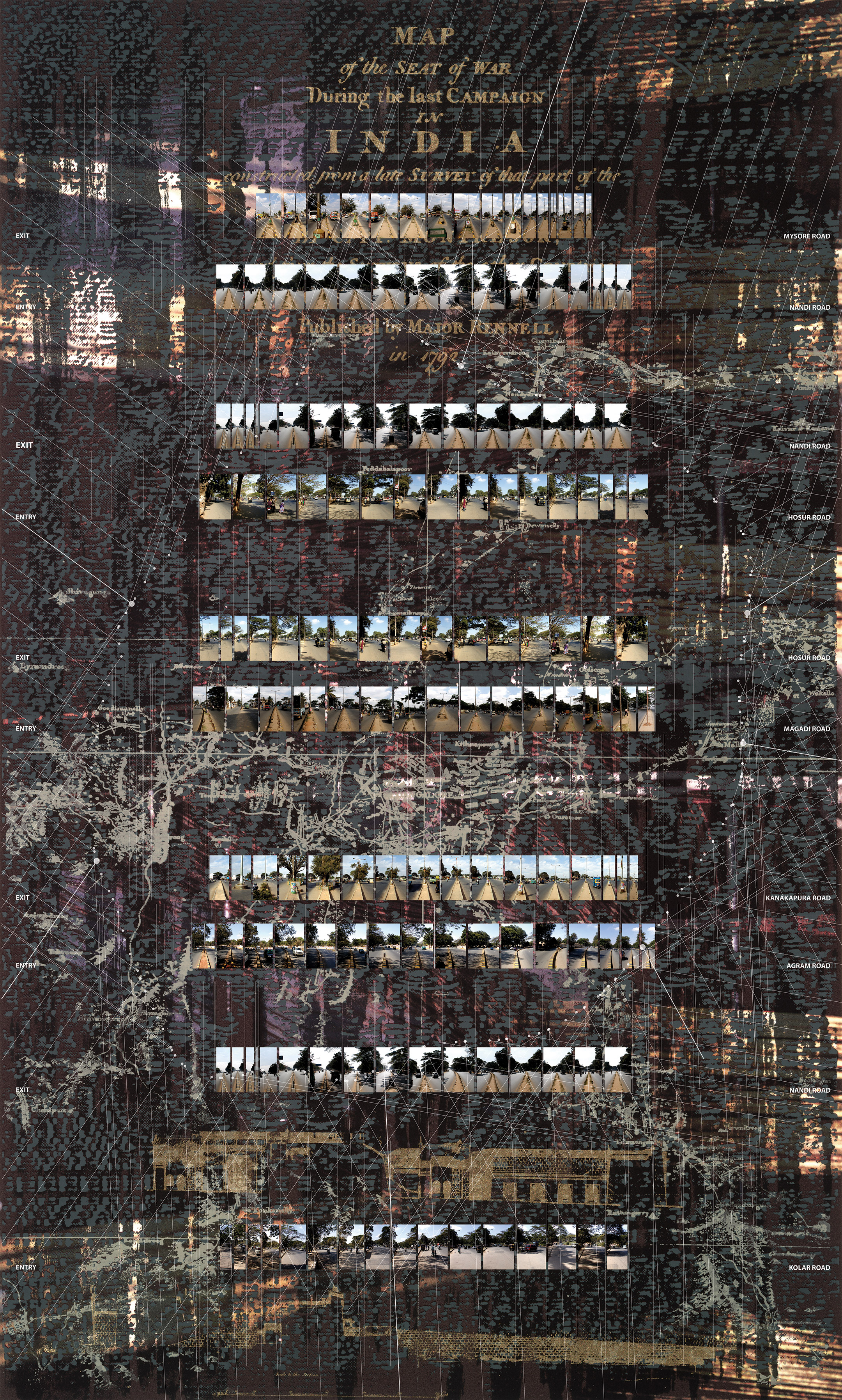
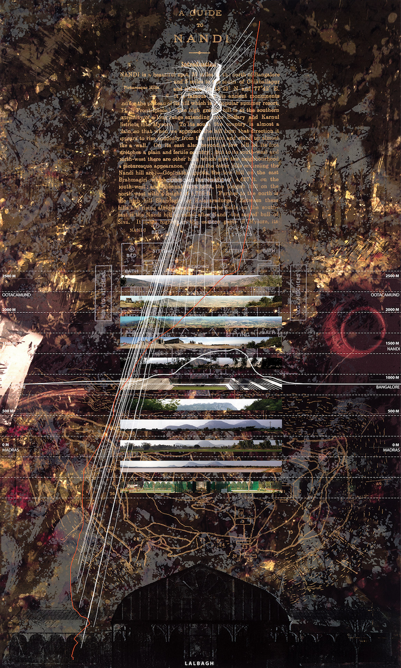
1 SURVEYING
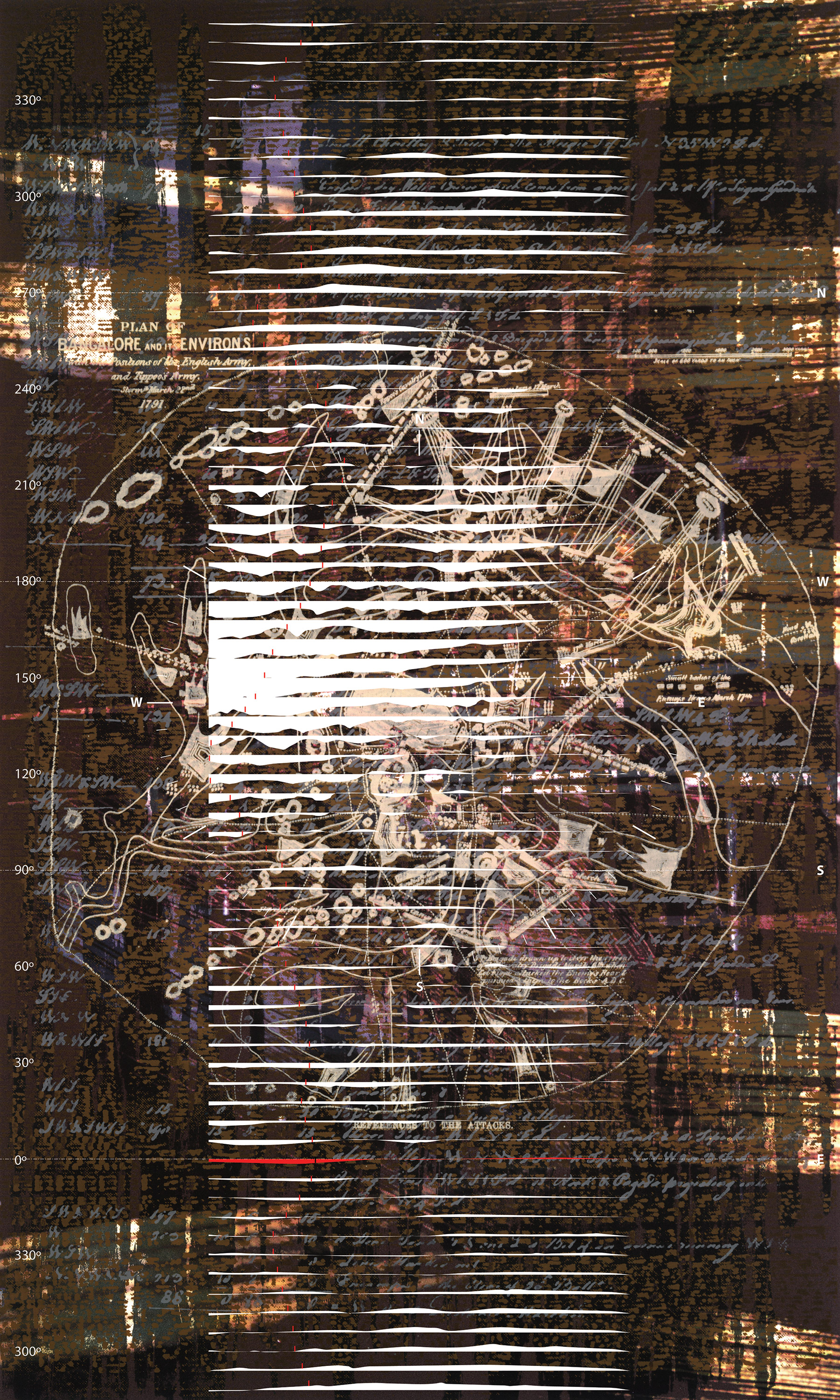
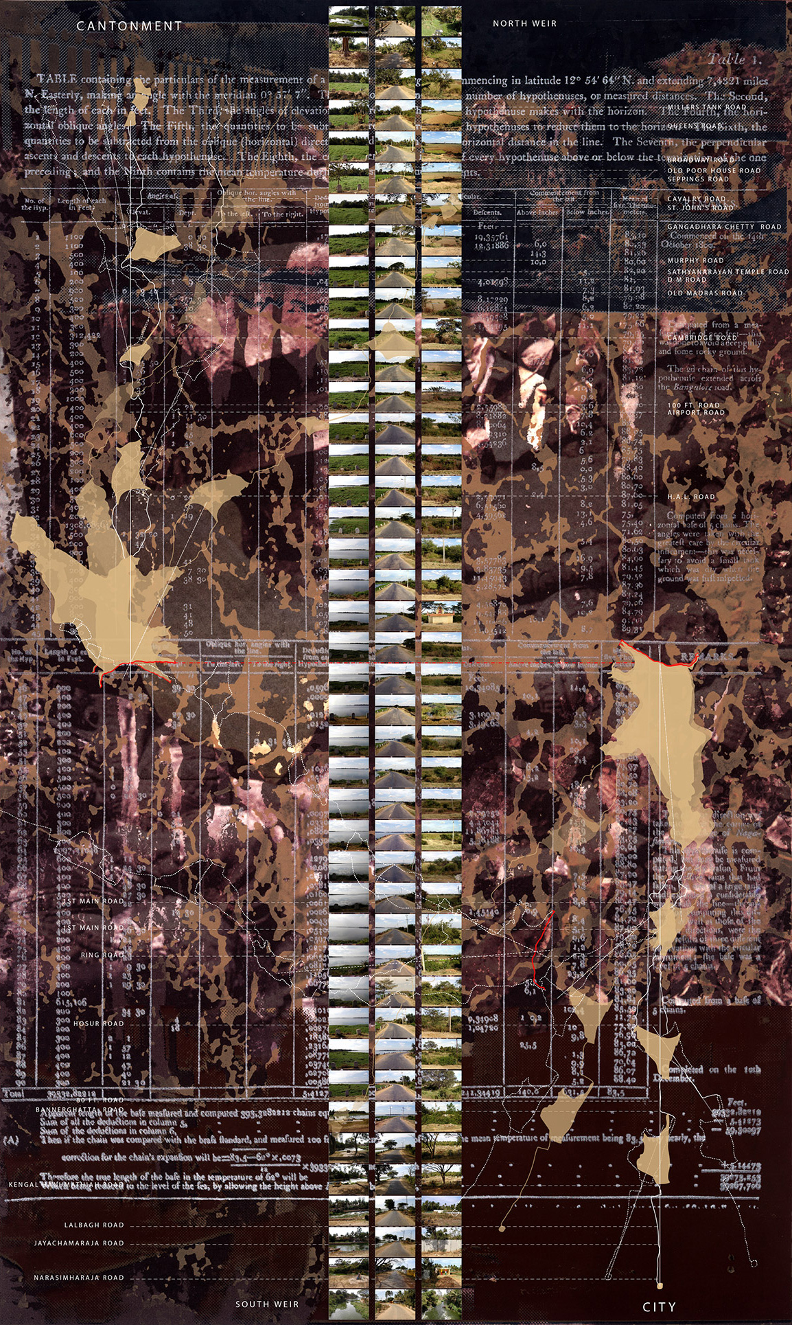
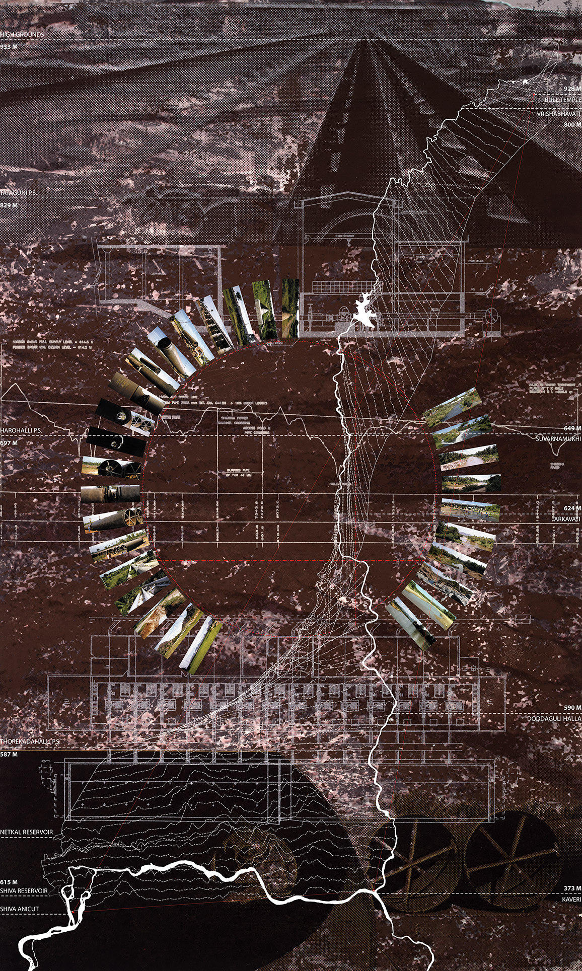
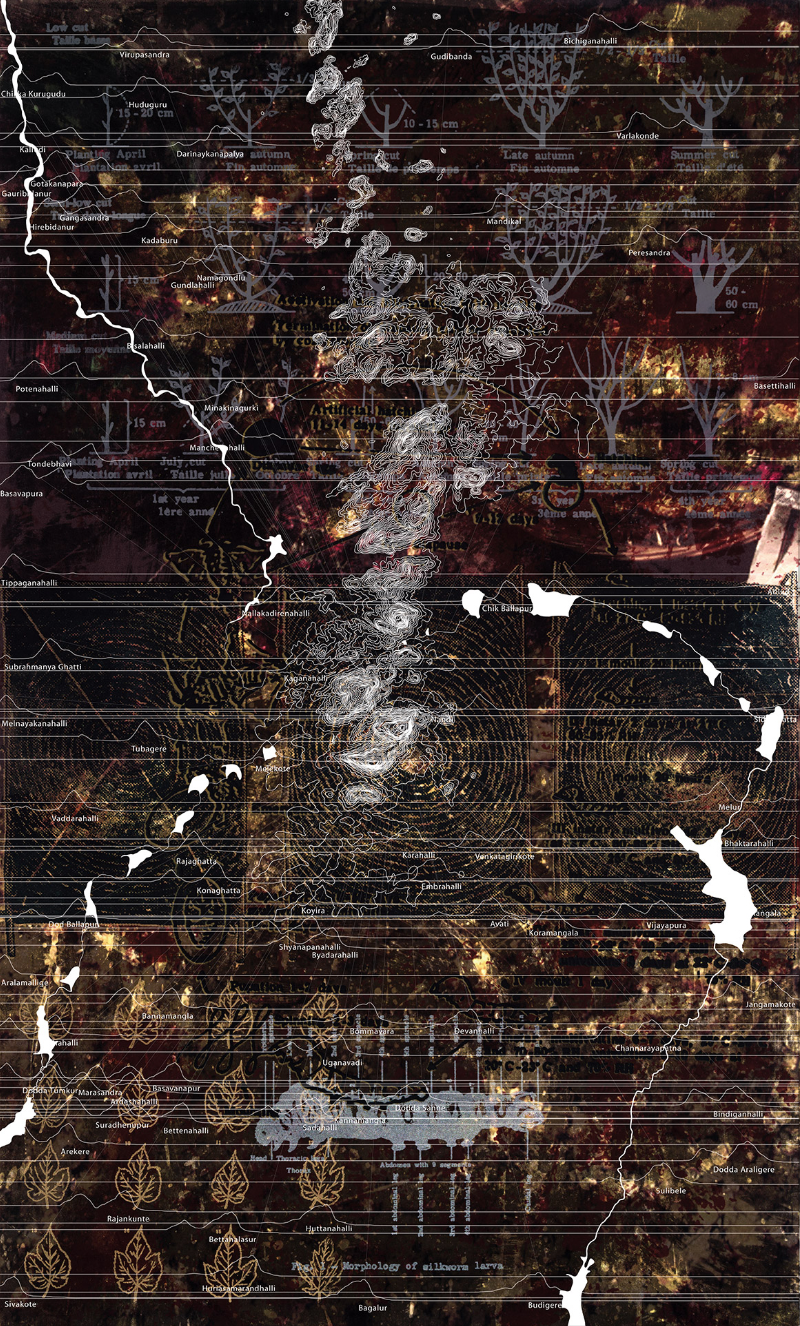
During and following the Third Mysore War of 1791-92, surveyors gave the Mysore tableland a language that could be presented in maps—topography, settlements, water bodies, boundaries, etc. It was the basis of military science but also of geography and administration.
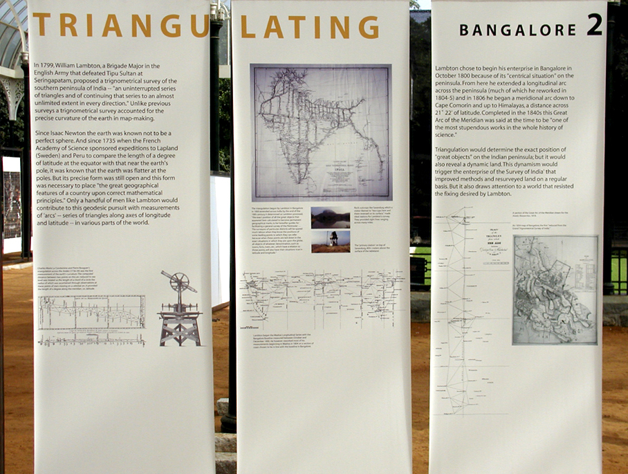
2 TRIANGULATING
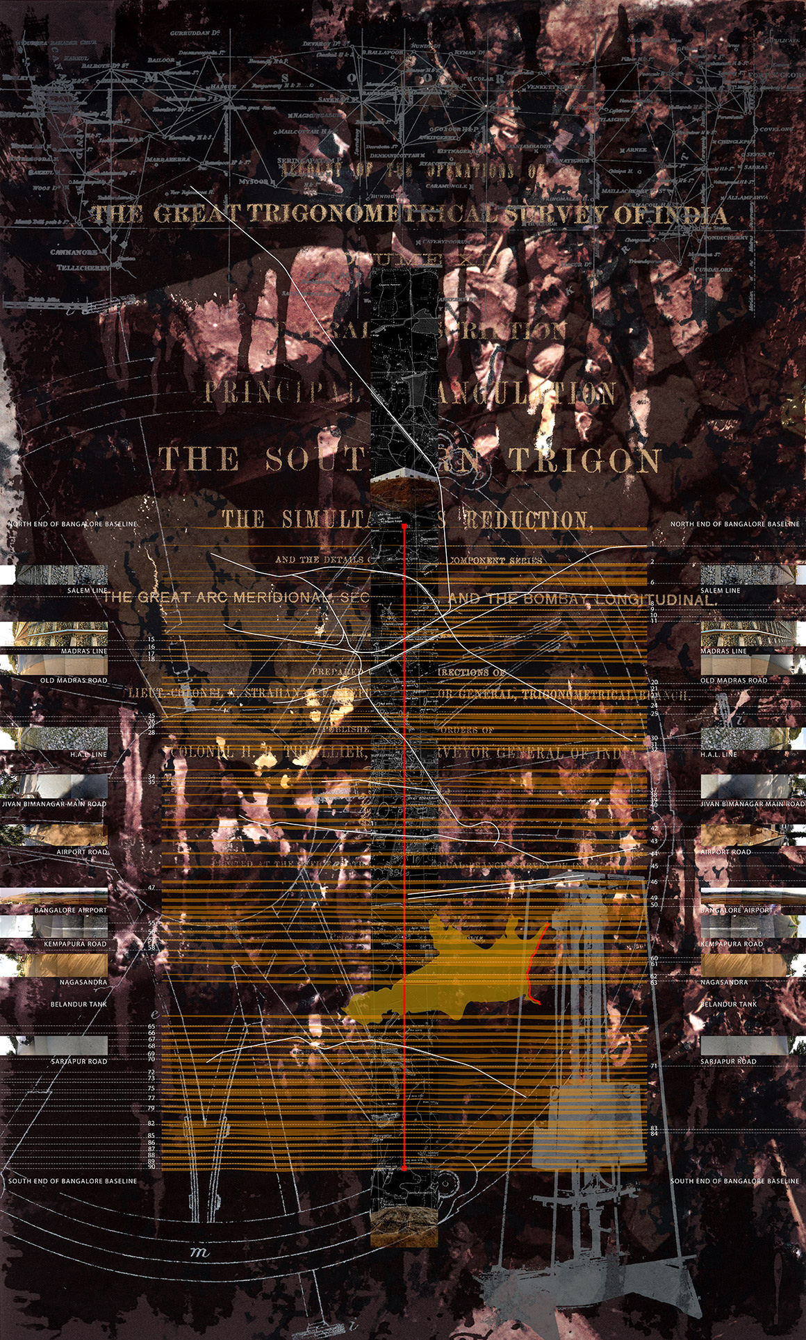
In Bangalore in 1800, William Lambton began the simultaneous effort of determining the curvature of the earth in the latitudes of the Indian peninsula and laying the foundation for an 'accurate' survey of India. The Great Indian Arc that he initiated here became the spine of the Indian subcontinent.
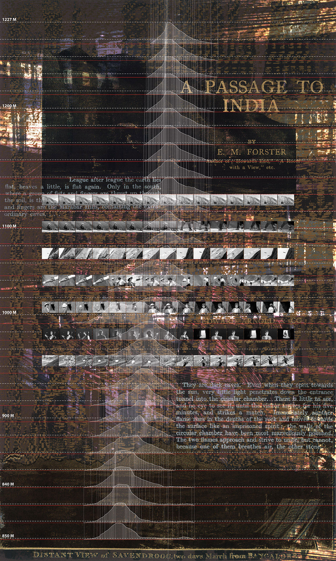
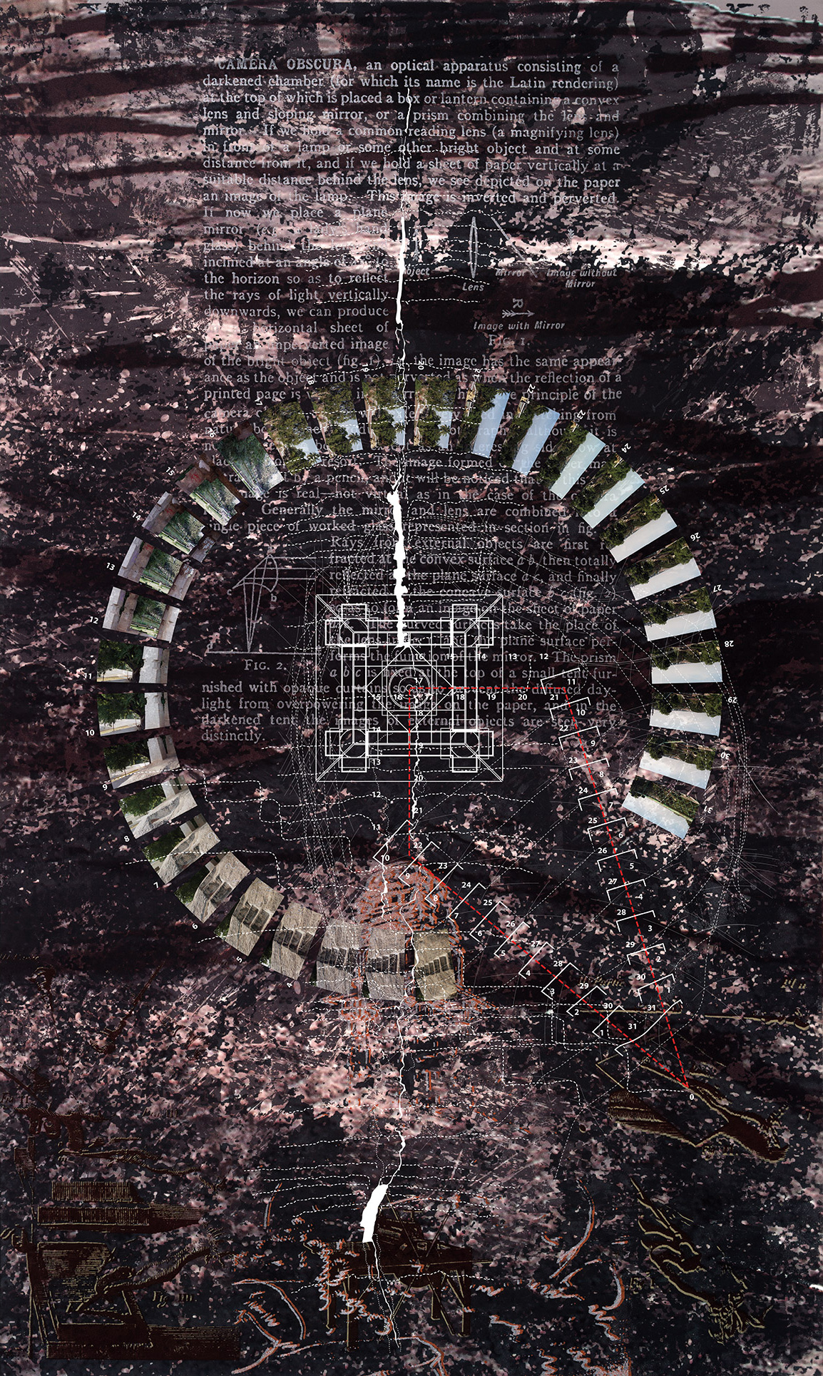
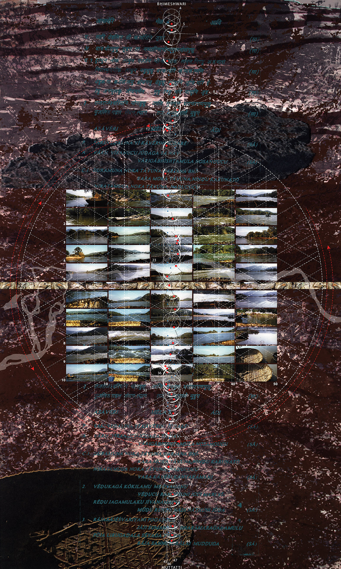
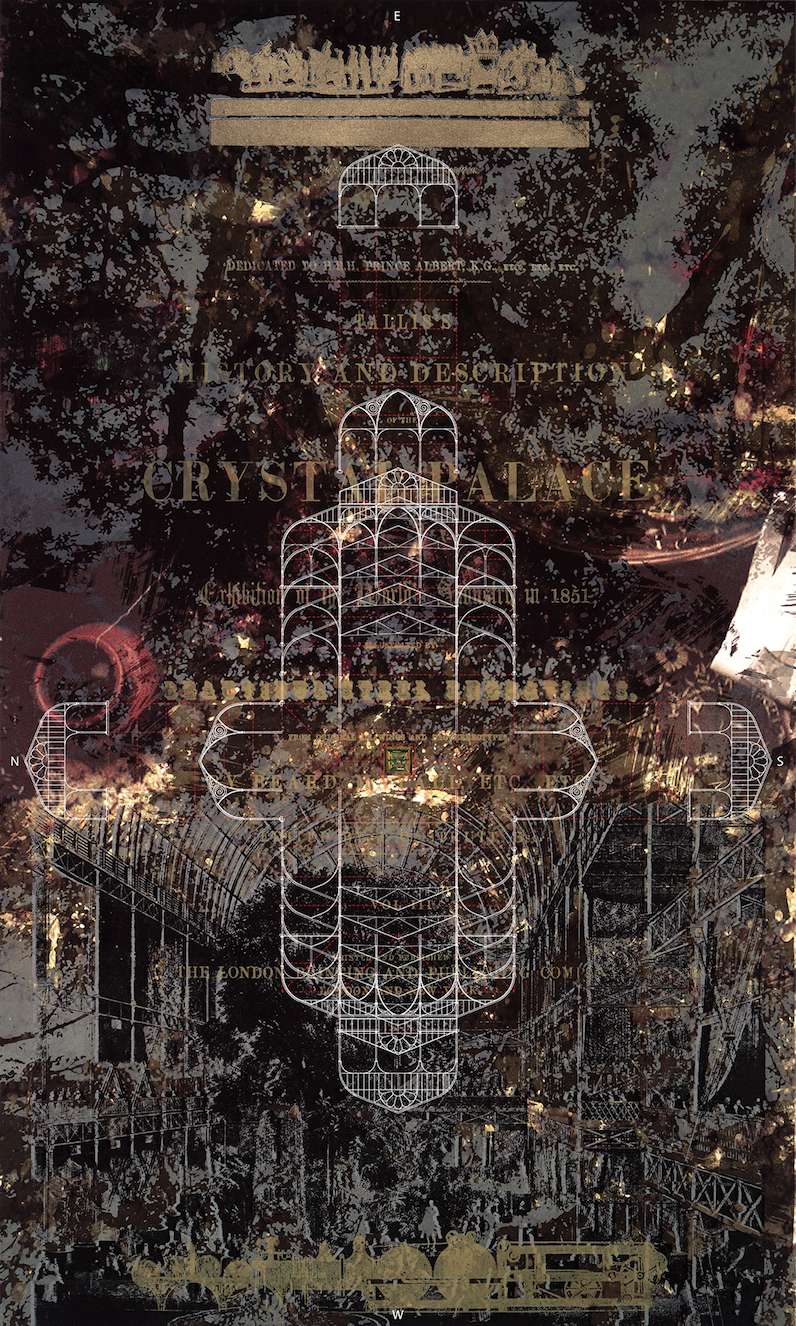
3 PICTURING
Artists in the 1790s recorded and communicated the tableland of Mysore in terms of 'scenes' and 'artifacts'. Their picturing of buildings, plants, animals, places, etc. has become the ordinary vocabulary of landscape and the basis of visualization in fields such as archaeology, anthropology, architecture and history.
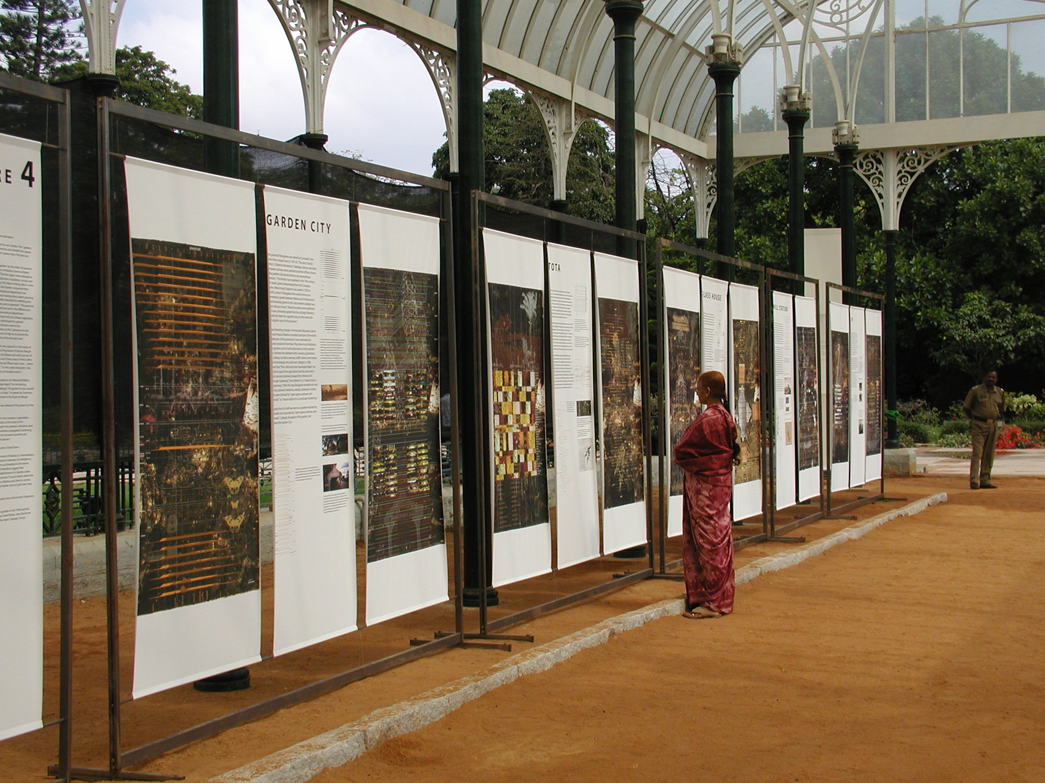
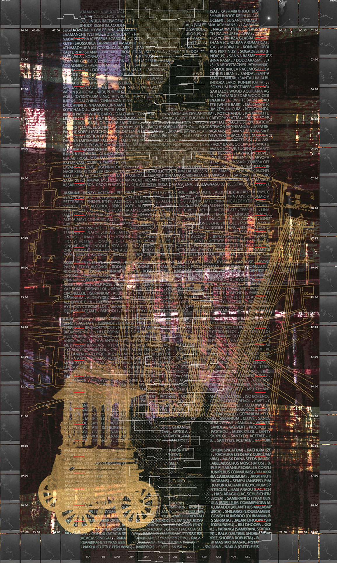
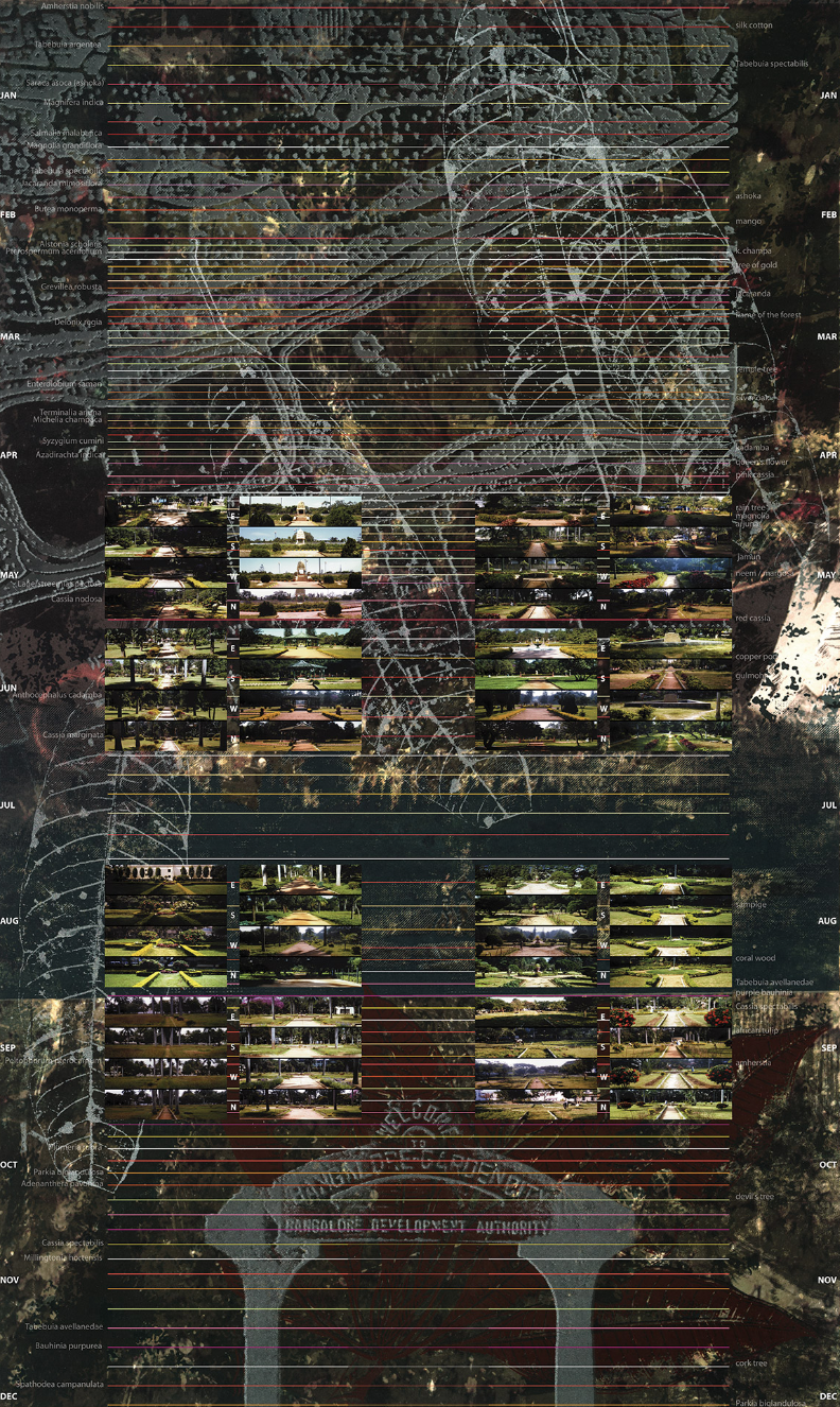
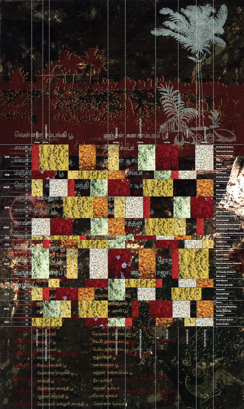
4 BOTANIZING
In 1799 the Sultan's Garden in Bangalore was made a "botanical garden" by naturalists initiating a global system of plant classification and transplantation. This garden, called Lalbagh today, has since introduced plants from across the world, transforming sceneries, economies, and cuisines of the tableland.
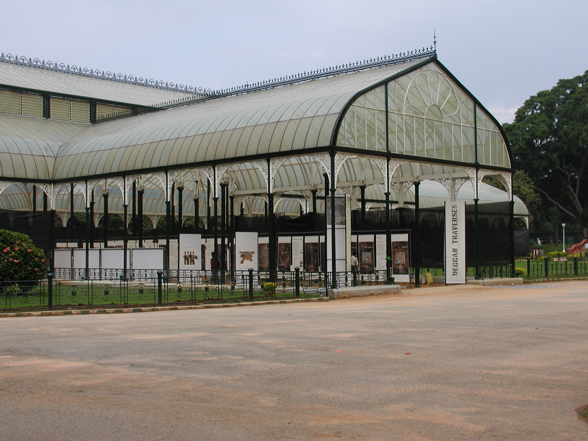
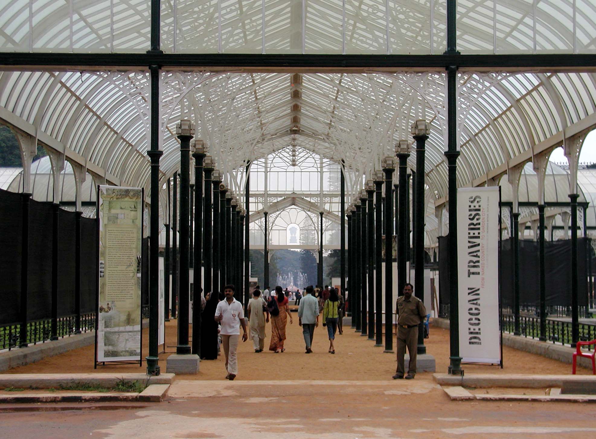
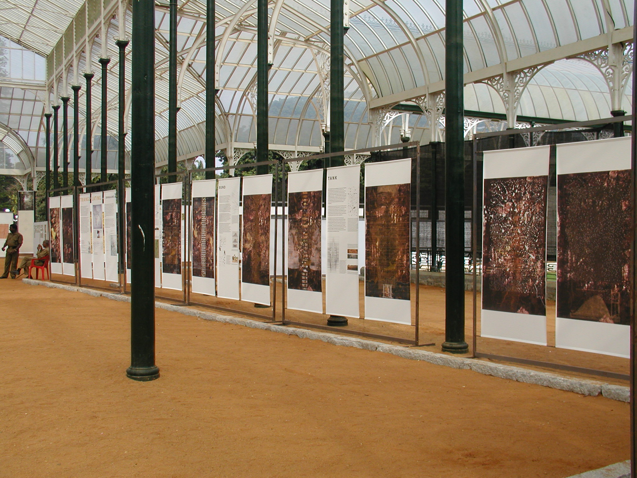
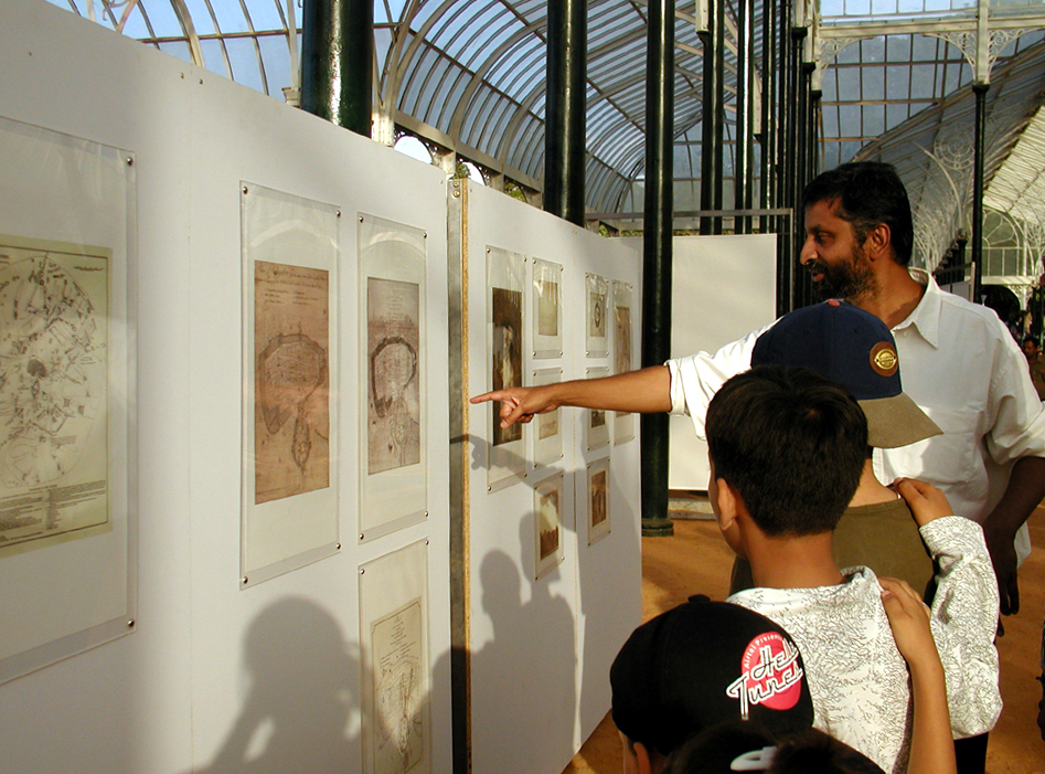
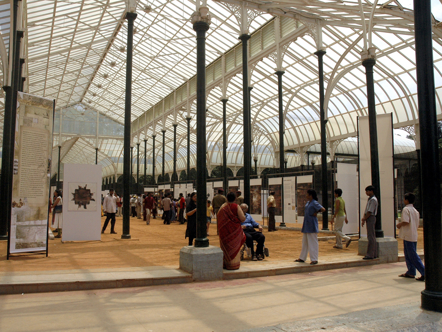
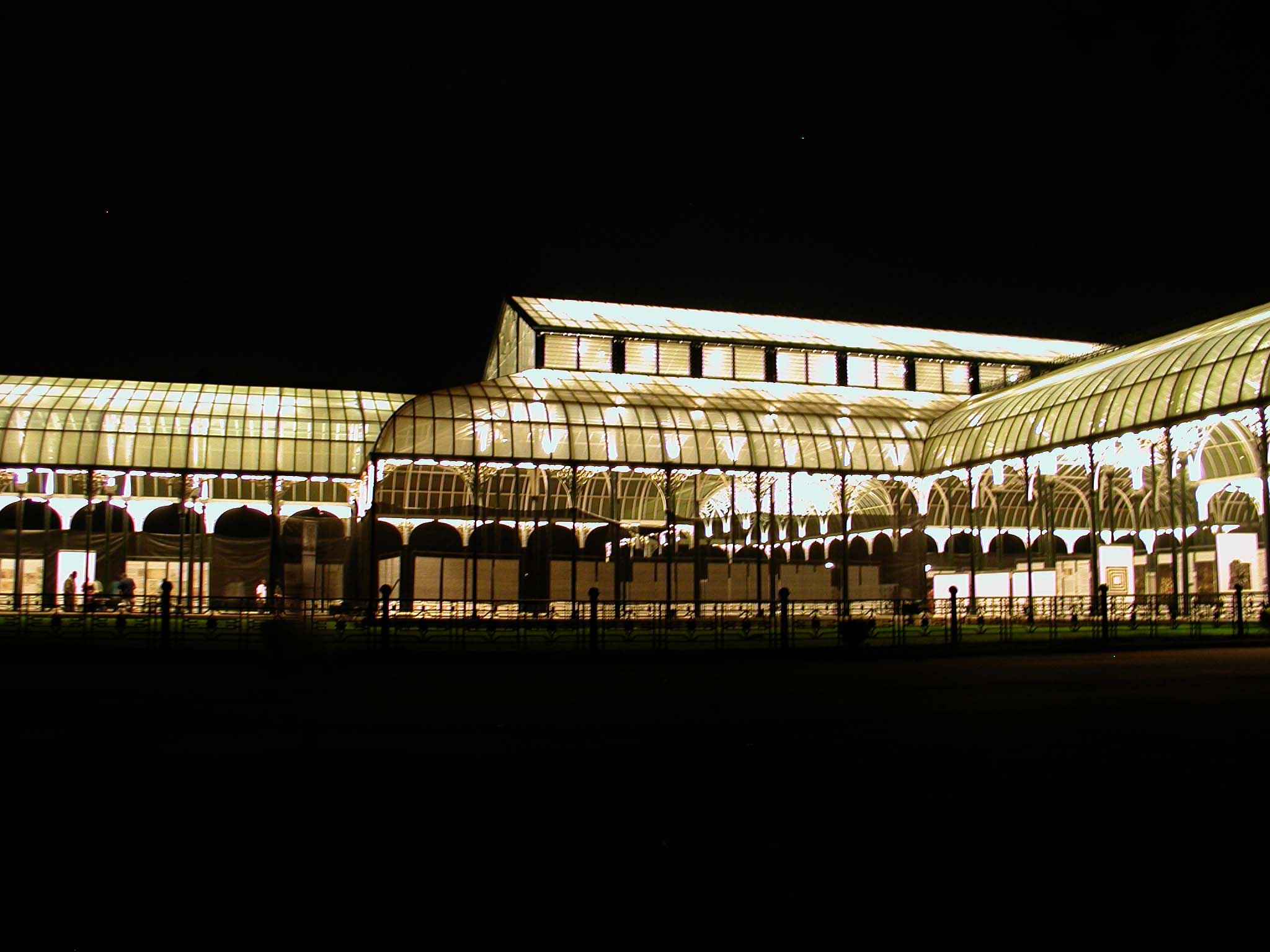
The exhibition DECCAN TRAVERSES opened at the Glass House in Lalbagh, Bangalore’s public garden on October 3, 2004.
It was supported in part by KUIDFC (Karnataka Urban Infrastructure Development and Finance Corporation) and the Karnataka Department of Tourism.
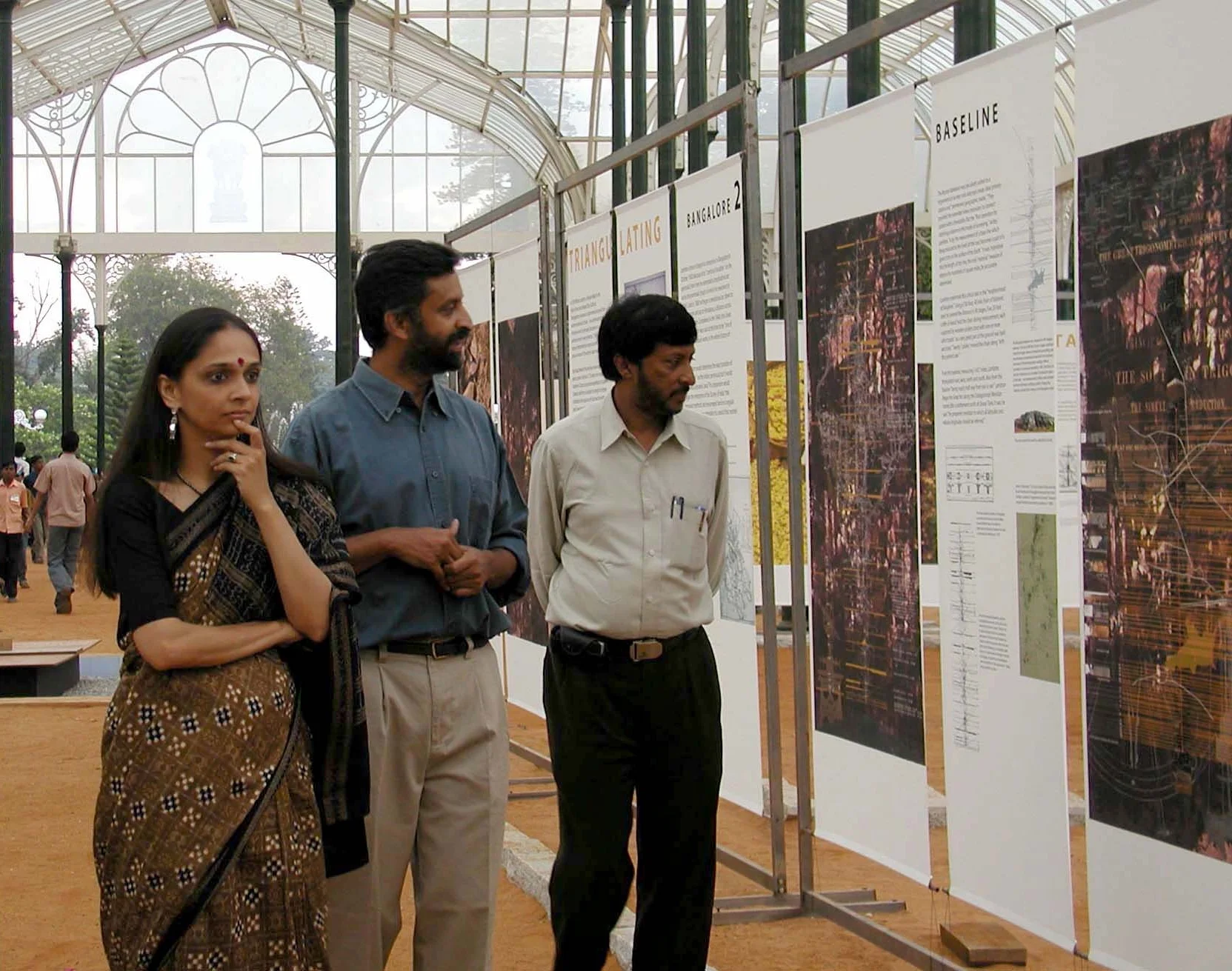
Anuradha Mathur and Dilip da Cunha produced all drawings, photo-works, prints, and text in the exhibition and book ( published in 2006) and hold copyright for the above.